|
||||||||
 |
||||||||
|
||||||||
|
||||||||
 |
|
|||||||
|
||||||||

|
||||
|
||||
|

|
|||
|
||||
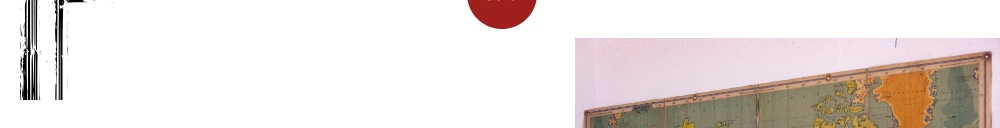
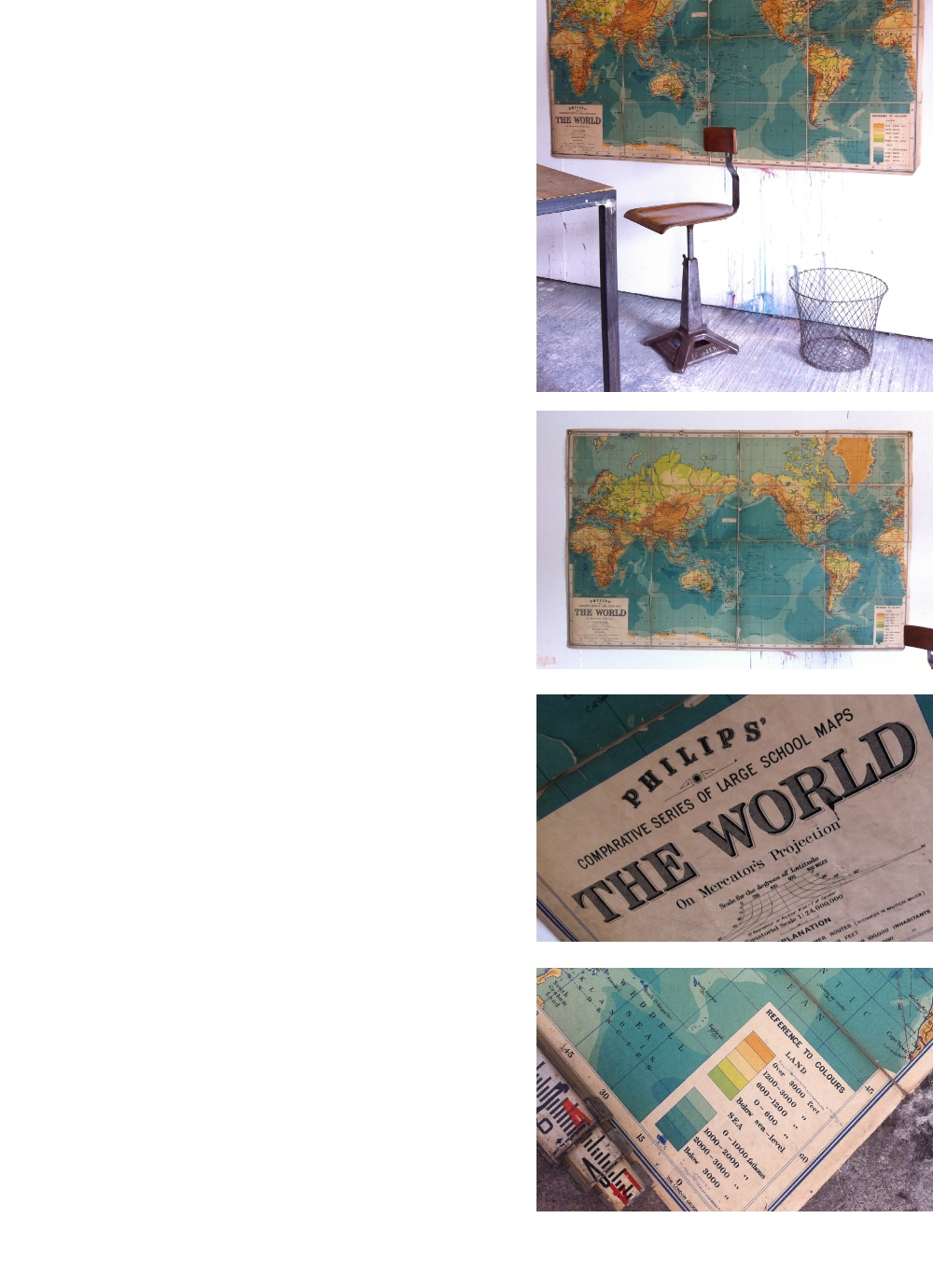
Philips Comparative Large School Map. 'The World'.
Mercator's Projection Circa 1930's
Part of a map collection recently acquired from a Grammer School Geography department this large wall map dates to the 1930's.
Published by the renowned George Philip's & Sons the colours are beautifully muted and the linen backed paper is yellowing.
Although this map shows its age, it also has immense character. Designed to fold up for easy storage there is some wear along the folds, there are four brass eyelets for hanging directly onto you wall (or we can quote for framing).
£sold
ITEM No:01170414
DIMENSIONS: 159cm x 124cm
ORIGIN: UK
CONDITION: Fair, request detailed report
STOCK: 1 available

.................................................................................