 |
||
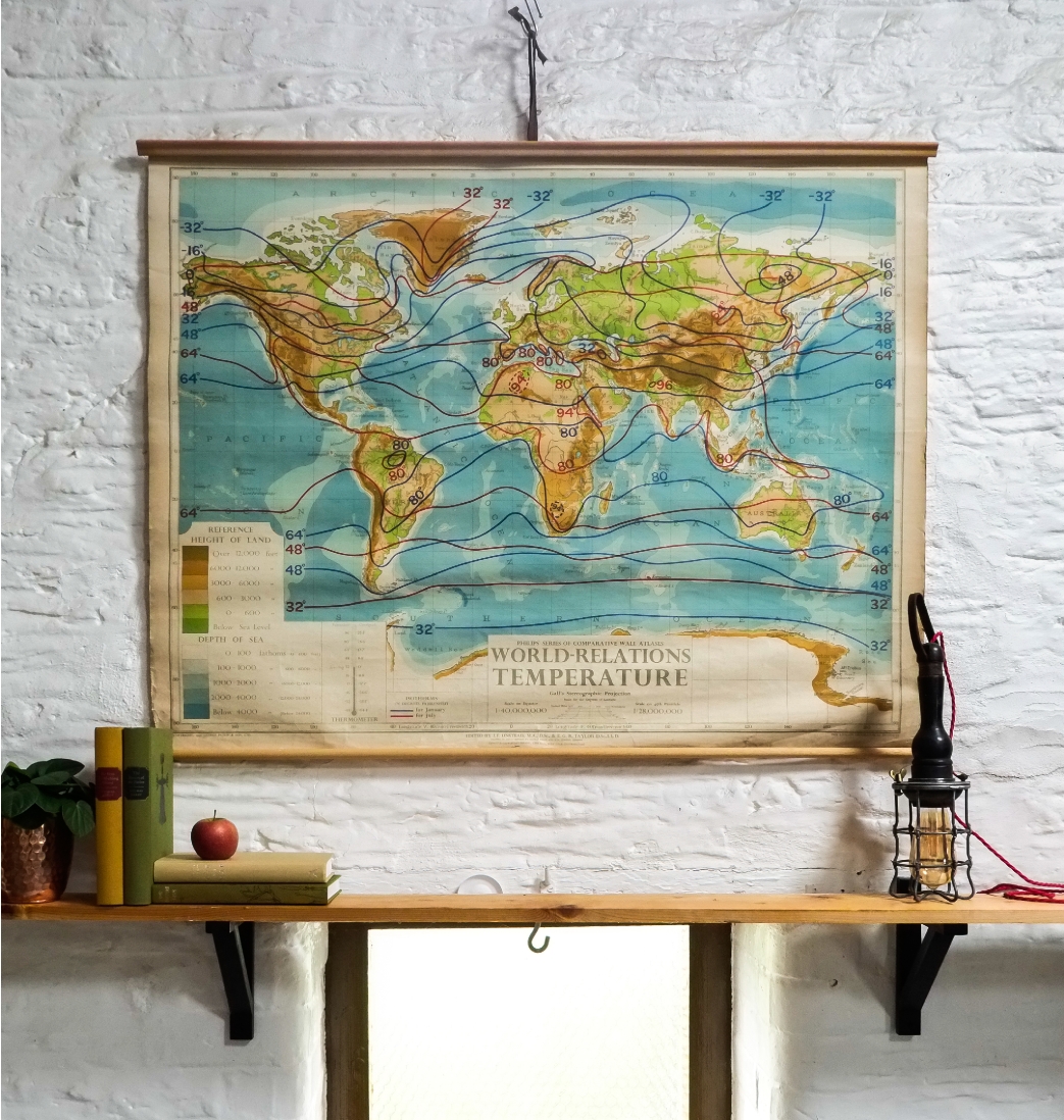
1950s PHILIPS' SCHOOLROOM MAP WORLD TEMPERATURE CLOTH BACKED PAPER, HUNG ON WOODEN BATTENS |
||||
 |
||
A large schoolroom wall map manufactured by George Philip & Sons in Great Britain. Printed on cloth-backed paper, suspended on two wooden battens and printed on linen backed paper. It is part of the 'World Relations' series once commonly used in school geography lessons. Suspended by a simple cord and with a tie ribbon to keep it rolled for storage.
£ 75.00
ITEM No: DIMENSIONS: Height 90cm Width 110cm ORIGIN: UK CONDITION: Very Good |
||

|
|
M: 07952 187121 M: 07932 626740 T: 01373 452989 |
|