 |
||
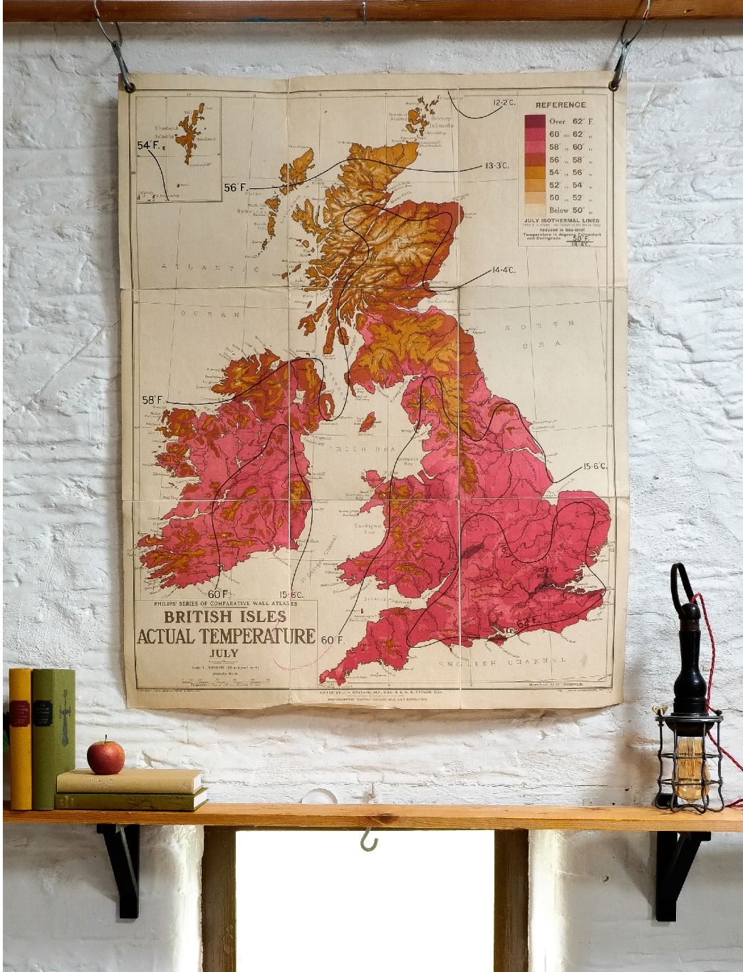
1950s PHILIPS' SCHOOLROOM MAP UK TEMPERATURES, JULY CLOTH BACKED PAPER HUNG ON WOODEN BATTENS |
||||
 |
||
A large schoolroom wall map manufactured by George Philip & Sons in Great Britain. Printed on cloth backed paper, suspended on two wooden battens and printed on linen backed paper it is part of the 'World Relations' series once commonly used in school geography lessons. Suspended by a simple cord and with a tie ribbon to keep it rolled for storage.
£ 75.00
ITEM No: DIMENSIONS: Height 90cm Width 110cm ORIGIN: UK CONDITION: Very Good |
||

|
|
M: 07952 187121 M: 07932 626740 T: 01373 452989 |
|