 |
||||||||||||||||||
 |
 |
|||||||||||||||||
|
||||||||||||||||||
 |
|
|||||||||||||||||
|
||||||||||||||||||
|
 |
 |
||||||||||||||||
|
 |
 |
||||||||||||||||
|
 |
 |
||||||||||||||||
|
 |
 |
||||||||||||||||
|
 |
|||||||||||||||||
 |
 |
|||||||||||||||||
|
||||||||||||||||||
|
 |
|||||||||||||||||
|
 |
 |
||||||||||||||||
|
 |
 |
||||||||||||||||
|
||||||||||||||||||
|
 |
|||||||||||||||||
|
||||||||||||||||||
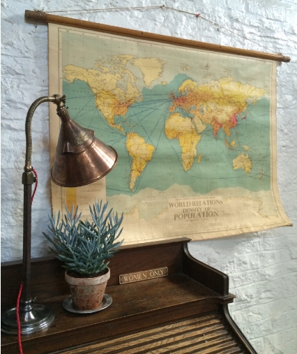
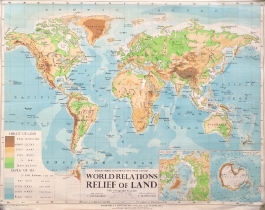
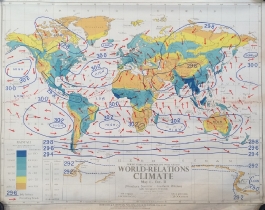
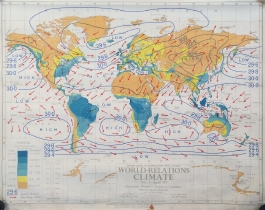
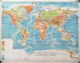
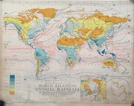
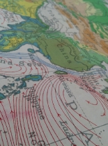
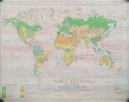
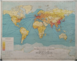
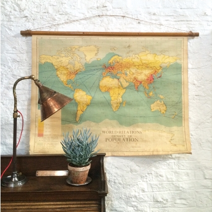
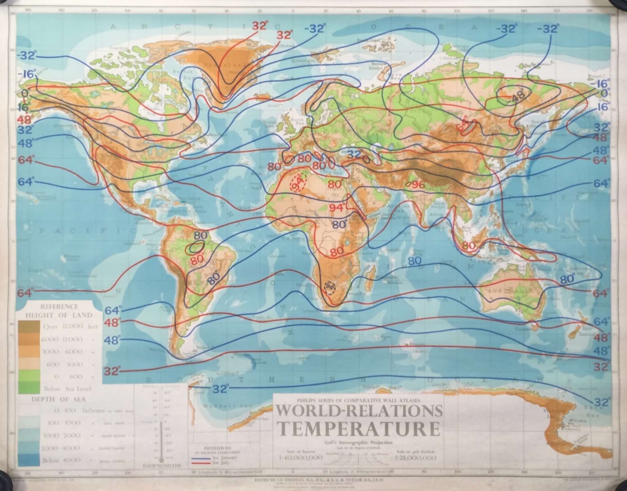
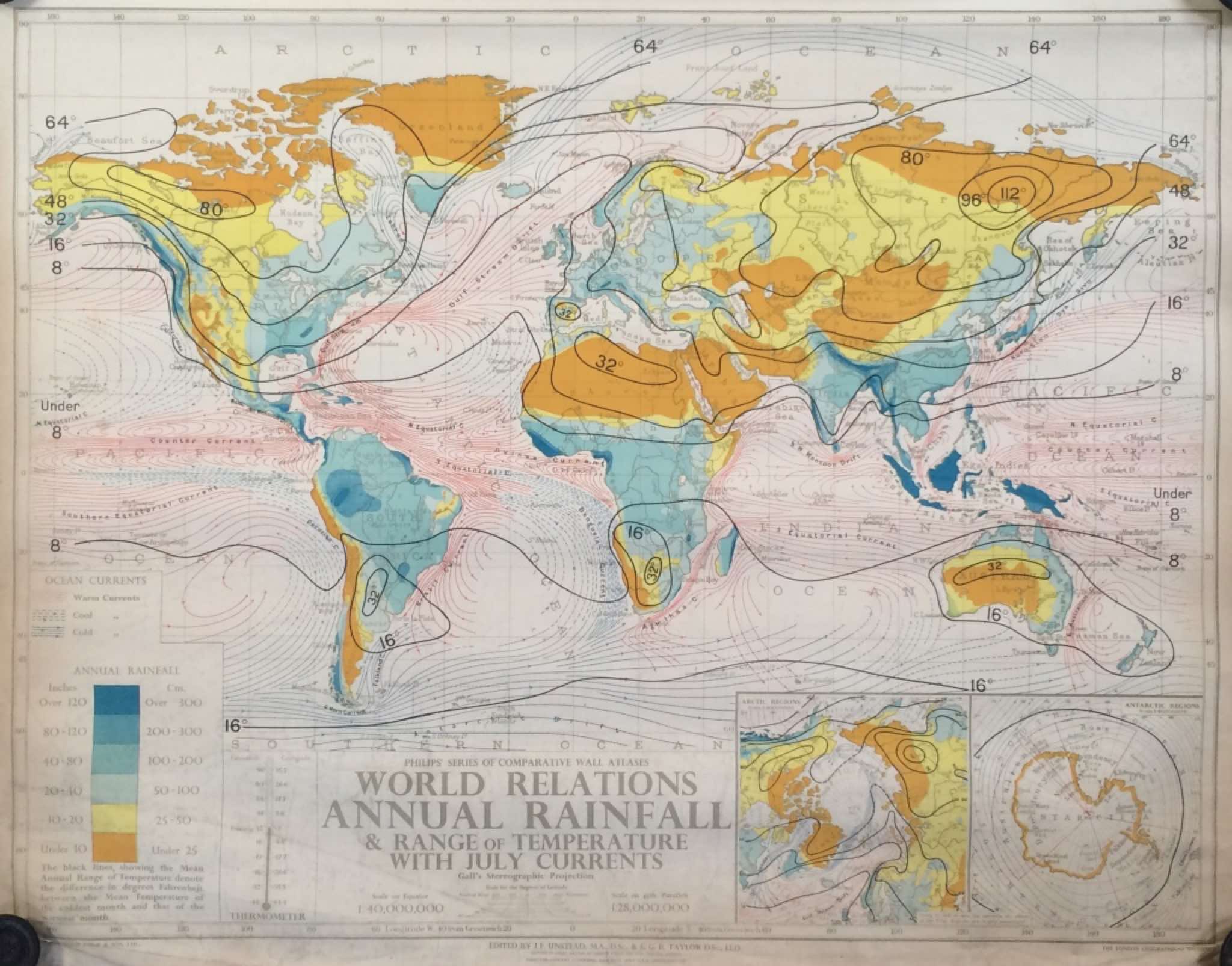
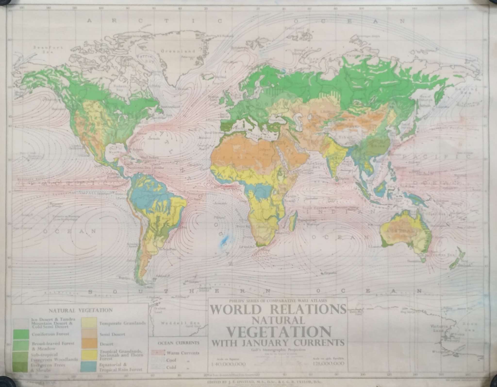
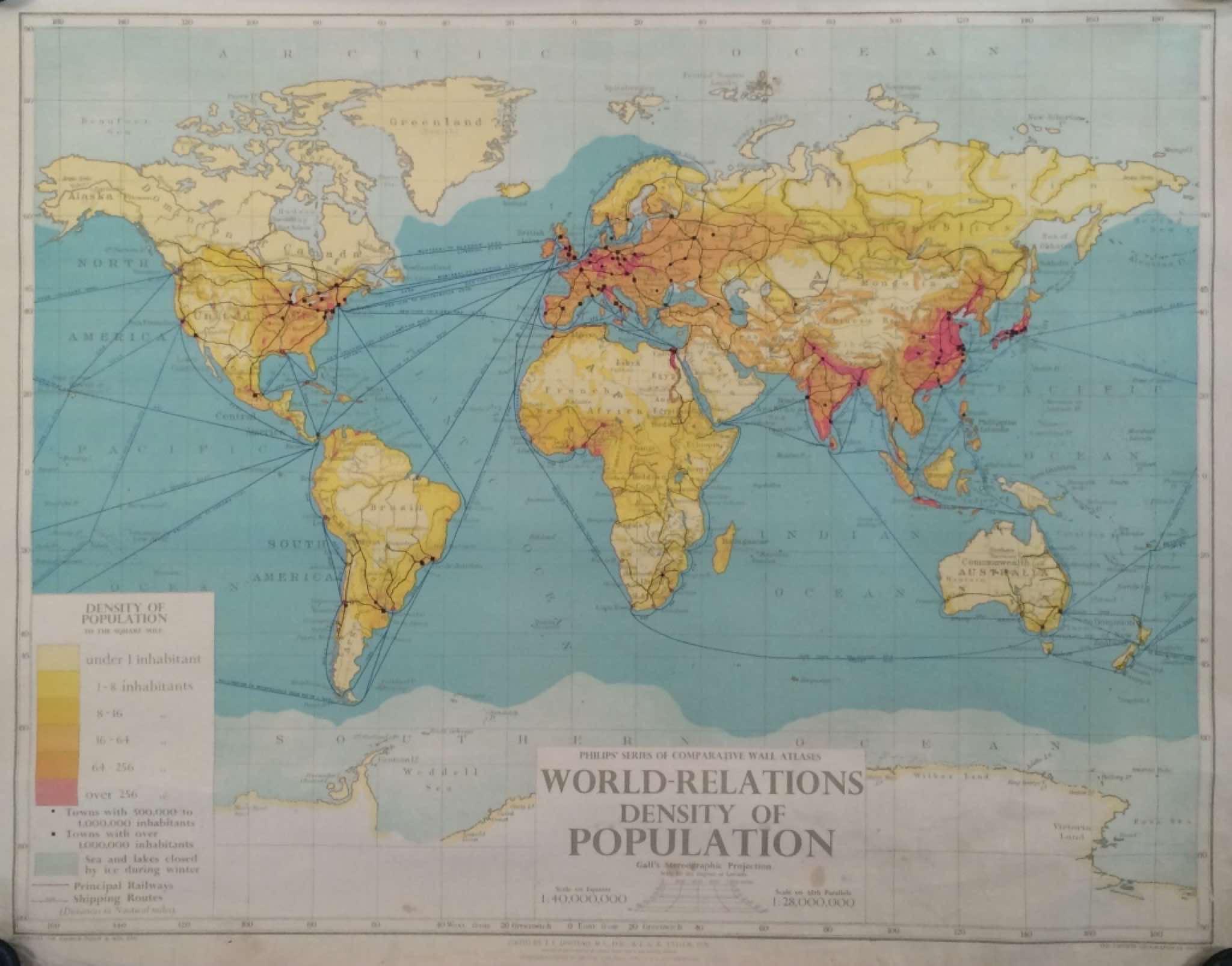
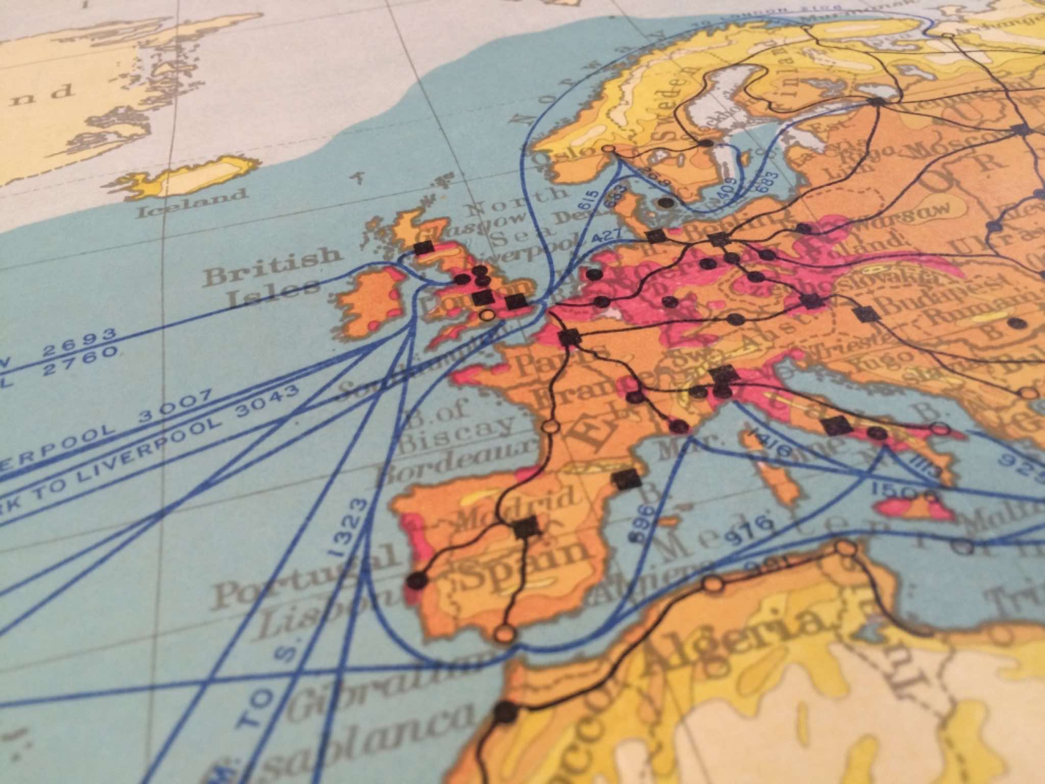
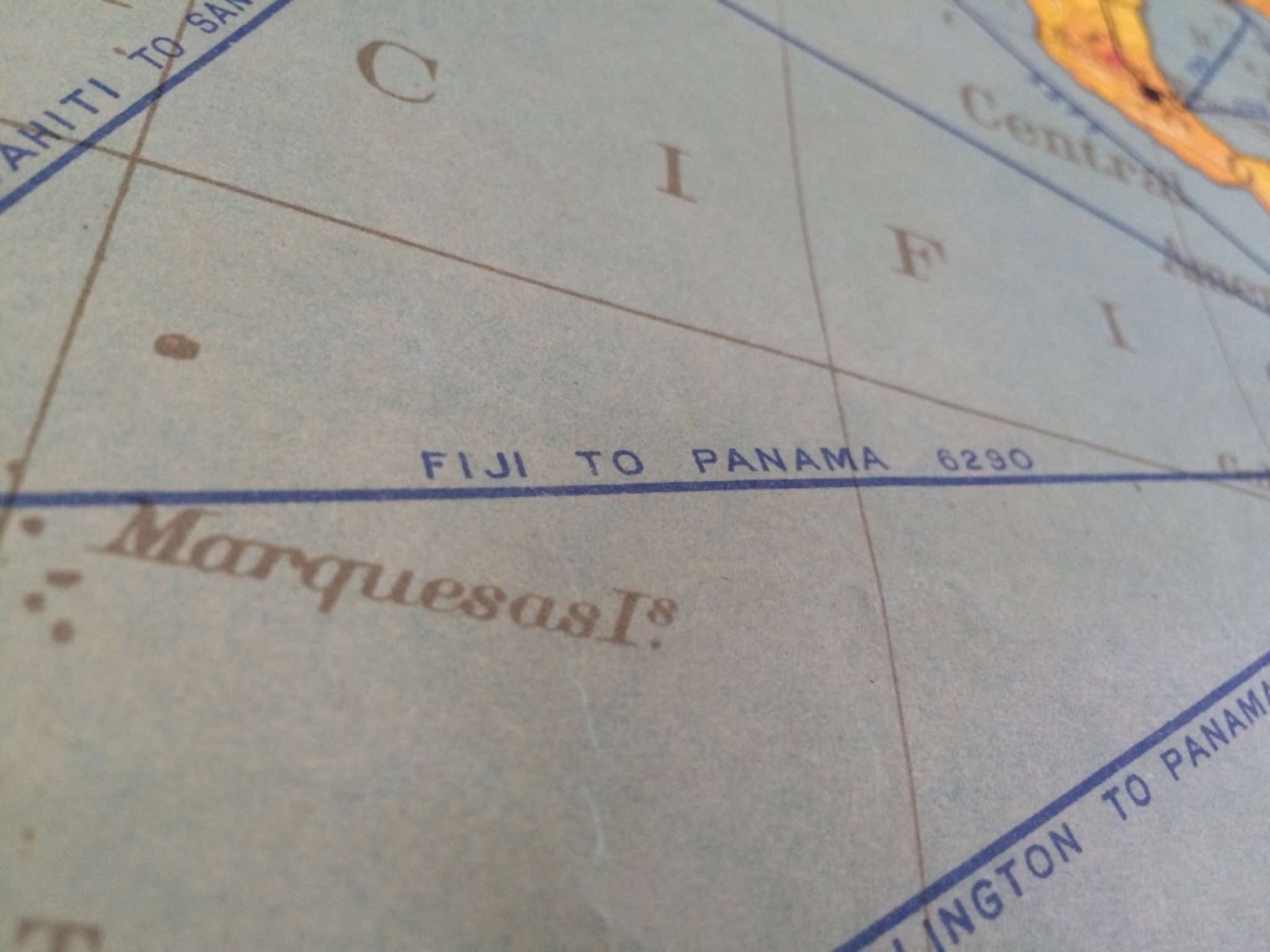
Another batch of our ever popular school wall maps, this set of seven feature world relations. Copyright dates on some of the maps range from 1940's-50's, published in Great Britain by George Philips' & Sons.
We more commonly find these classroom maps in their 'fold up' format, printed in sections before being stuck to the backing fabric with eyelets for hanging. They would have been common place in schools throughout the land, though sadly few have survived.
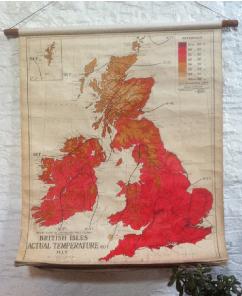
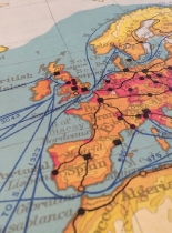
These more unusual roll up maps are printed as one full sheet then linen backed and mounted flip chart style on a single top baton.
We think that they would look stunning displayed en masse if you have the wall space and can supply individual batons for each.
The subjects they cover are as follows:
1 WORLD RELATIONS RELIEF OF LAND.NOW SOLD.
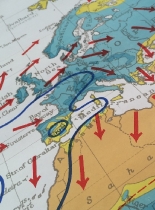
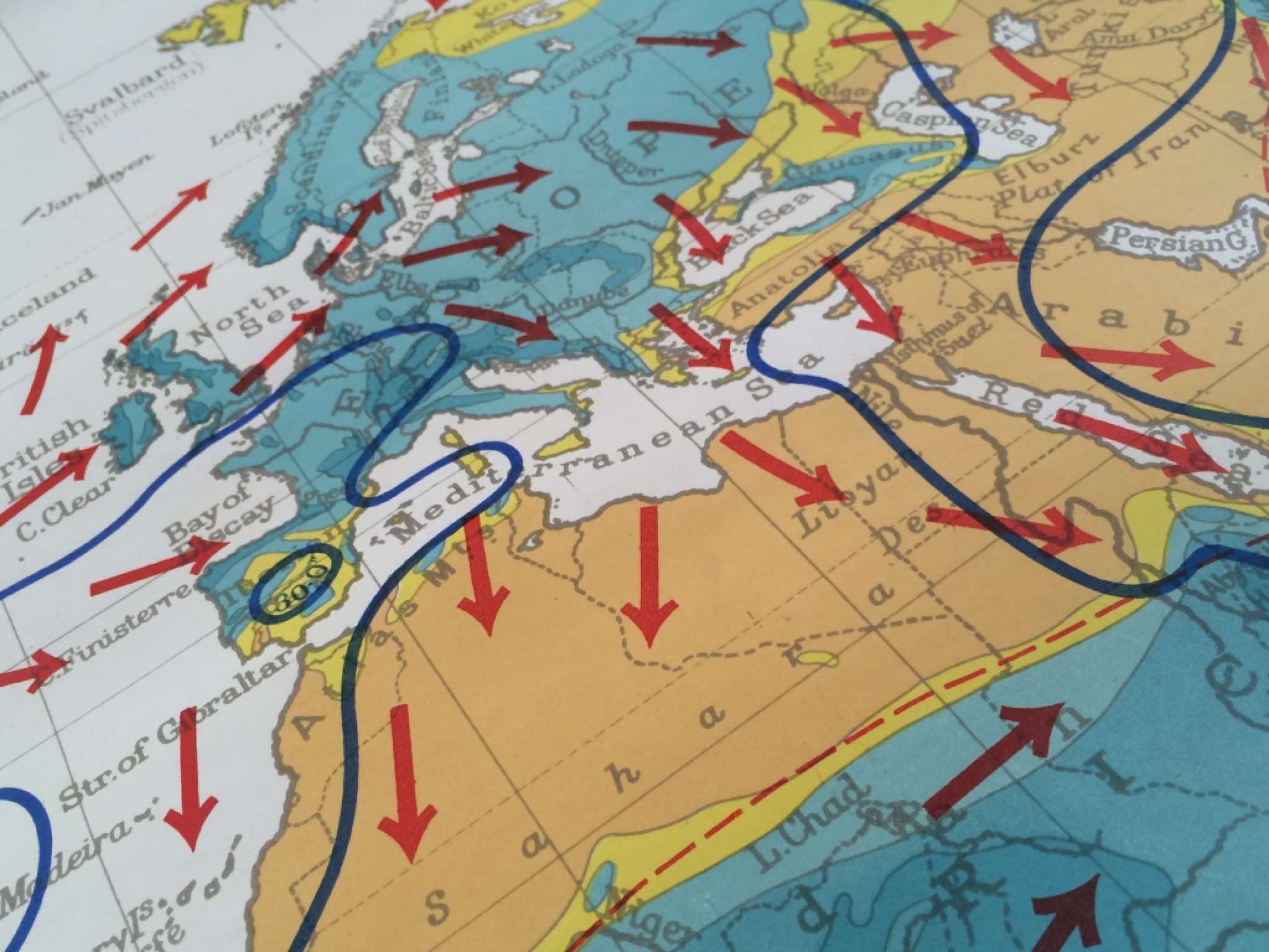
2.WORLD RELATIONS CLIMATE MAY1-OCT 31
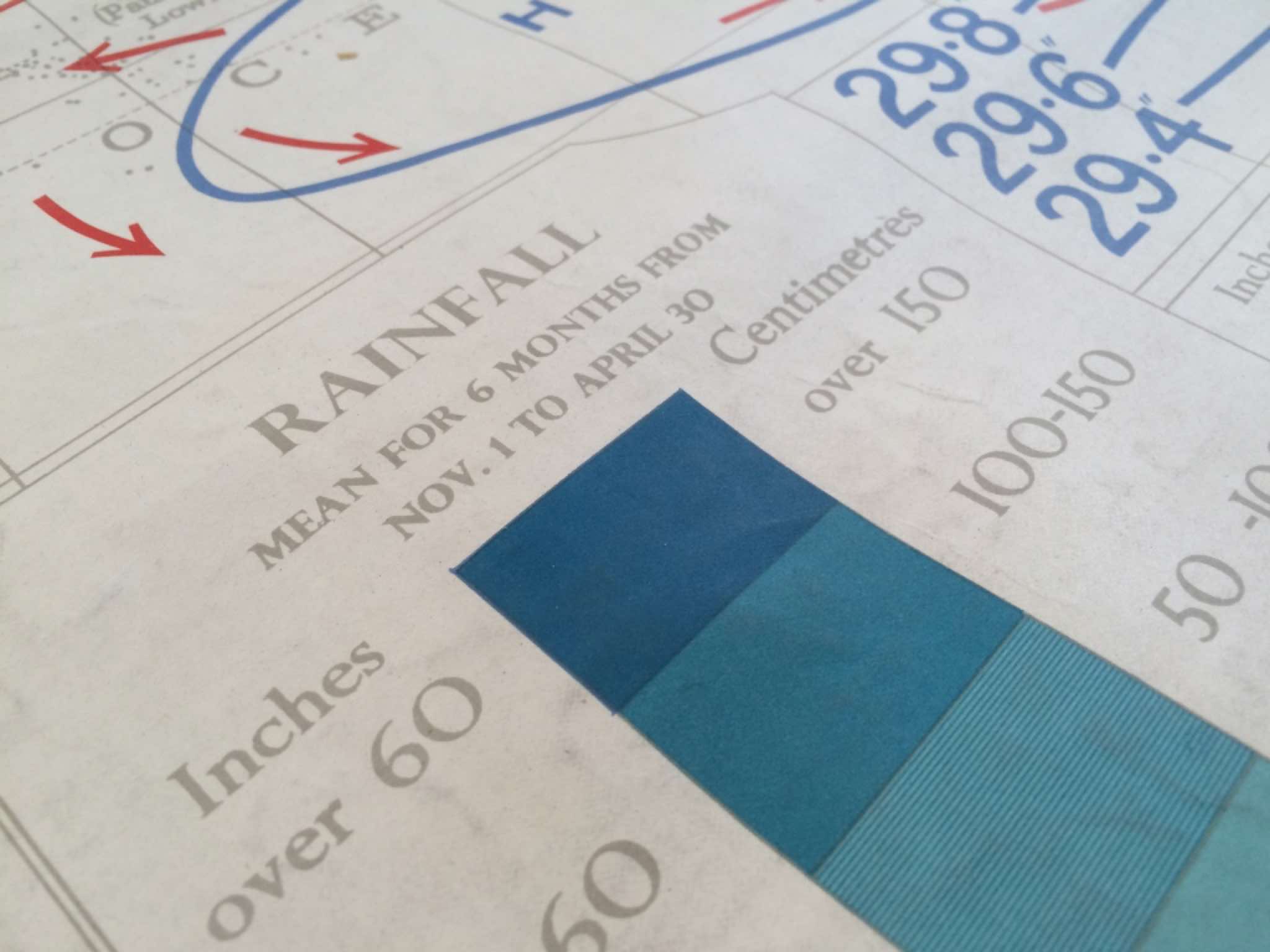
3.WORLD RELATIONS CLIMATE NOV1-APR 30
4.WORLD RELATIONS TEMPERATURE.
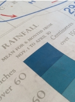
5.WORLD RETALATIONS ANNUAL RAINFALL.
6.WORLD RELATIONS NATURAL VEGETATION.
7.WORLD RELATIONS DENSITY OF POPULATION SOLD
These maps are in good to fair condition, the. Most have a degree of creasing to the bottom edges which would have received the most handling. MAP 1.Has a missing area of print couple of cm's long over Libya (not a hole,but surface damage).....
£85 each
ITEM No:
DIMENSIONS: 110cm x 85cm excluding batons.
ORIGIN: UK
CONDITION: Good to fair
STOCK: 6 available

.................................................................................

Philips'Comparative World Relations roll up school maps circa 1950's.
Linen backed on wooden baton.
We have a similar set of Philips' Comparative Wall Maps of Great Britain also available, click on the image below for details.
