|
||||||||
 |
||||||||
|
||||||||
|
||||||||
 |
|
|||||||
|
||||||||
|
|
||||
|
||||
|

|
|||

|
||||
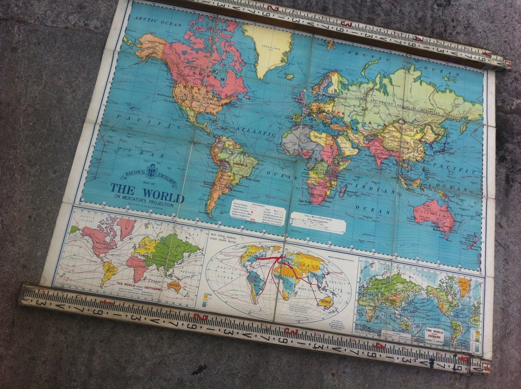
Large Vintage School Wall Map
Map Of The World. Bacon's Excelsior Mercator's Projection. Circa 1930's
We have been fortunate to acquire a large map collection salvaged from a Grammer School closure. Many are stamped with the date of issue, during the fascinating inter-war period of the 1930's. National boundaries were in a state of flux,and the British Empire was in it's twilight years.
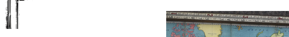
This is a huge Bacon's map,printed in 16 sections on a Linen backing.There are two re-enforced metal eyelets for wall hanging.
The main image is The World (a Mercator Projection) with three additonal inset maps. 'The World Isotherms', 'Mean Annual Rainfall & Ocean Traffic Routes'and 'The World Showing Isobars'.
£ sold
ITEM No:
DIMENSIONS: 159cm x 124cm
ORIGIN: UK
CONDITION: Good, request detailed report
STOCK: 1 available


.................................................................................